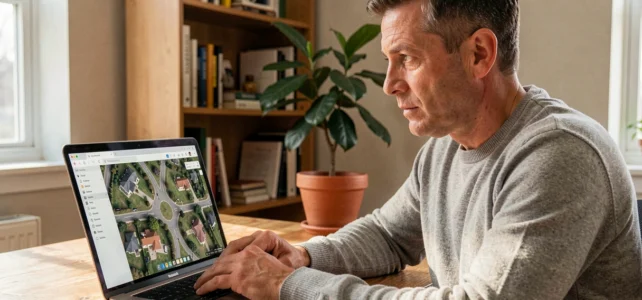
A satellite view of your house accessible from a web browser relies on archive images, captured by satellites in orbit and then stitched together into a mosaic. No free service broadcasts a real-time video feed of your roof. Understanding this gap between the promise of “live” and the technical reality allows you to choose the right tool and make the most of it.
Satellite Image Latency: Why Your Roof Is Never Filmed Live
The term “live” applied to public satellite imagery is misleading. The images visible on Google Earth or Google Maps come from imaging campaigns conducted weeks, sometimes months, before their publication. The delay between capture and online posting depends on processing (geometric correction, stitching, cloud removal) and the provider’s dissemination policy.
Commercial operators like Maxar (WorldView Legion) have constellations capable of revisiting a priority area up to fifteen times a day, with a resolution around 30 cm. Specialized platforms announce delivery times ranging from fifteen minutes to three hours after capture for contracted clients.
These capabilities remain reserved for institutional or professional uses. For an individual looking for a live satellite view of my house, the limit is no longer technical but commercial and regulatory: quasi real-time images exist, but they are not freely accessible.
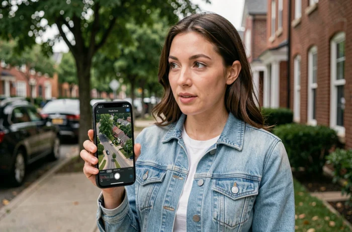
Google Earth, Google Maps, Mappy: Which Satellite Tool to See Your House
Three free tools cover almost all the needs of an individual. Their differences lie in the freshness of the images, the navigation mode, and additional features.
Google Earth: 3D Navigation and High-Resolution Images
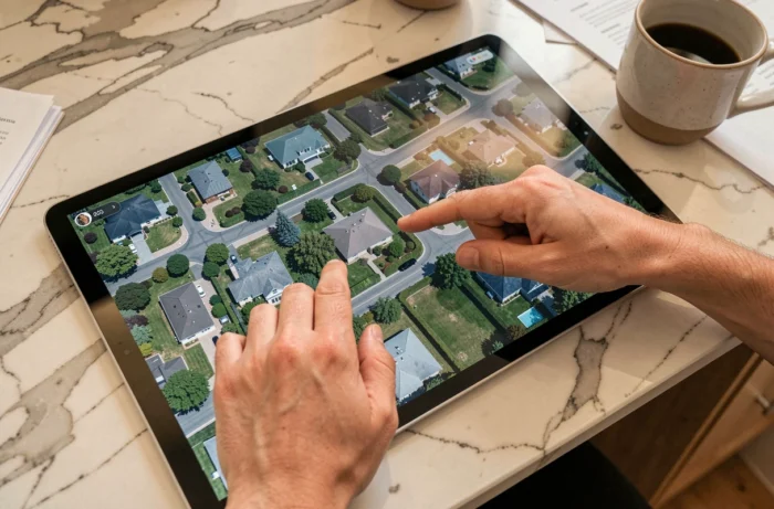
Google Earth offers an interactive globe with 3D modeled buildings for many cities. Address search centers the view on your house. The “historical imagery” feature (desktop version) allows you to compare multiple capture dates for the same location, giving an idea of the evolution of buildings or vegetation.
Google Maps and Street View: Satellite View Combined with Ground Photography
Google Maps switches between map and satellite view with a click. Street View complements the aerial view with photographic panoramas taken at street level. On mobile, the Immersive View feature merges satellite imagery and ground photos for certain cities, providing a realistic overview without relying on a live feed.
Mappy and Other French Alternatives
Mappy integrates a satellite mode accessible from its mapping interface. The coverage is less detailed than Google’s in rural areas, but the tool remains useful for cross-referencing sources. Other services like Géoportail (IGN) offer updated French aerial orthophotographs according to a regional schedule.
Resolution and Update Frequency: What Limits Public Satellite View
Two technical parameters determine the quality of what you will see on your screen.
- Spatial resolution refers to the size of the smallest visible detail. On Google Earth, it varies by area: a few tens of centimeters in city centers, several meters in isolated areas. A resolution of 30 cm allows you to distinguish a parked car, but not to read a license plate.
- Revisit frequency indicates how often a satellite passes over the same point. Free access constellations (Sentinel-2, Landsat) revisit a location every few days, but with too low a resolution to identify an individual house. High-resolution commercial constellations revisit more frequently, without broadcasting their images for free.
- Cloud cover remains the main practical obstacle. An unusable image due to clouds delays the update of the mosaic visible to the public, sometimes by several months.
Mobile Apps for GPS Satellite View: What They Really Display
The Google Play Store and the App Store list dozens of applications labeled “live satellite view.” Most leverage the map tiles from Google Maps or OpenStreetMap, without their own satellite source. Their added value is limited to overlaying a GPS track or a compass on the map.
Some guidelines to evaluate an app before installing it:
- Check the source of the images in the description. If the app does not mention any satellite provider, it is likely reusing Google Maps.
- Read the permissions requested. A mapping app does not need access to your contacts or microphone.
- No free mobile app provides a real-time satellite video feed of your house. Any contrary promise is misleading marketing.
Access Recent Satellite Images Without Going Through Google
To obtain fresher views than those from Google Earth, specialized platforms provide access to frequently updated satellite image catalogs. EOSDA LandViewer allows you to search for scenes by geographic area, filter by date and cloud cover, and then view or download the images. The resolution of free data (Sentinel-2, Landsat) remains modest compared to commercial offerings, but it is sufficient to observe land use around your house.
Emerging projects are working on networks of ground stations capable of further reducing the latency between capture and dissemination. This infrastructure aims to make satellite images almost instantaneous for professional clients, but it could also accelerate the update of public services in the medium term.
The next time you zoom in on your roof in Google Earth, the capture date displayed at the bottom of the screen will indicate the actual age of the image. It is the only reliable indicator to know what you are looking at.